
Address:
900 E. Broad Street
Richmond, VA
23219 USA
Hours: Mon - Fri (8 a.m. - 5 p.m.)
Phone No. 804-646-6430
Email: Ask Public Works
Transportation Engineering Division
The Department of Public Works is responsible for promoting safe access to services for people who walk, bike, ride transit or drive.![]() Supporting existing and proposed land uses is coordinated through the Complete Streets process to plan, design, construct, and maintain streets using a safe systems approach.
Supporting existing and proposed land uses is coordinated through the Complete Streets process to plan, design, construct, and maintain streets using a safe systems approach.
Our mission for safe and healthy streets elevates partnerships with the community, non-profits, and involved local, regional, state, and federal agencies. Quarterly, the Department meets to coordinate and collaborate with our safety partners at the Safe and Healthy Streets Commission. Together we can make a difference on our neighborhood and community streets.
Our Division maintains and operates over 490 intersections with traffic signals and determines placement and usage of regulatory and warning signs, (such as stop, yield, and speed limit signs), as well as street name signs. Residents can help by reporting problems with traffic signal equipment or signs. If a traffic signal is malfunctioning or a stop sign is knocked down, call 9-1-1. For all other maintenance issues, visit the City's Customer Care Center at 3-1-1 or on-line at RVA311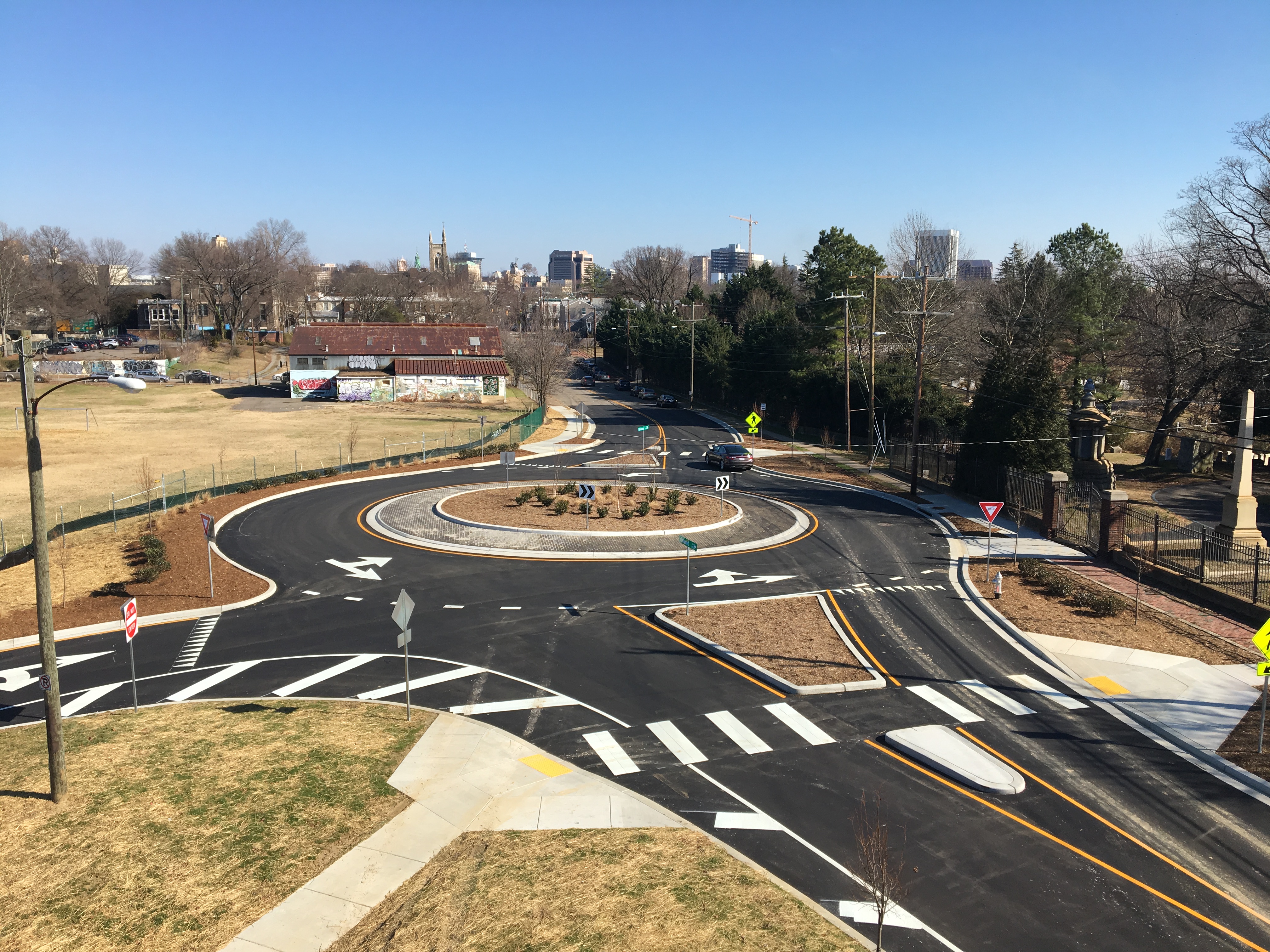
Our Division works with the Right of Way Management Division and the Department of Planning and Development Review to assist developers, and contractors in planning of new subdivisions, proposed driveway entrances, and the design of proposed street improvements, as well as working jointly with communities to address transportation safety issues on the high injury street network.
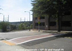
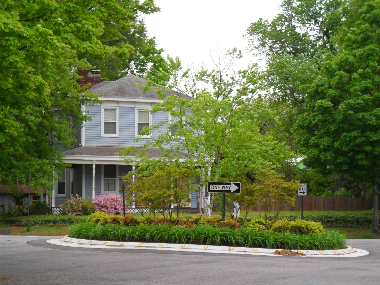
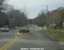
The Division supports great neighborhoods and business districts. Our places need to be livable and safe for all people regardless of age or ability. Our neighborhood traffic management program seeks to reduce the negative impacts of traffic in neighborhoods by managing traffic speeds in place. Working with the Richmond Police Department, the Richmond Fire Department, and the community is critical to achieving a safe systems approach between education, enforcement, emergency response, and engineering. The City has an active traffic calming program – pedestrian safety curb extensions, neighborhood traffic calming circles, speed tables, medians, and raised crosswalks are the more common calming techniques promoted in the City.
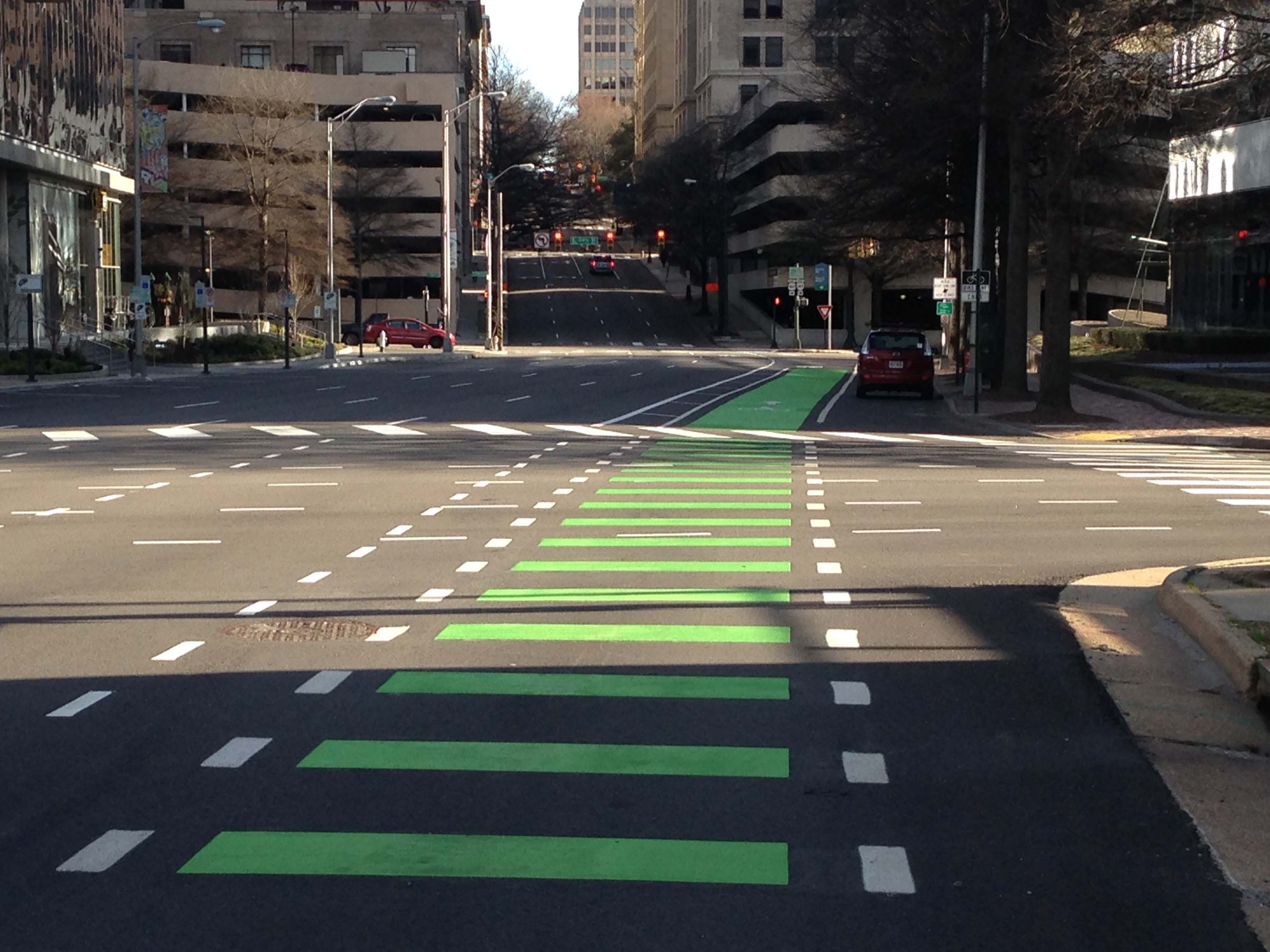
The Transportation Engineering Division has a comprehensive pedestrian safety program to provide high visibility crosswalks at signalized intersections, accessible ramps for all users, adequate crossing times for all users; and pedestrian countdown signals.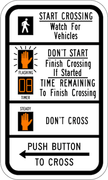
Read the Better Streets Manual for details on our vision.
The Neighborhood Traffic Management Program (NTMP) represents a commitment by the Department with its partners to promote livable neighborhoods. Speeding and unsafe driving behaviors are not acceptable. The Department receives more than 1,000 requests every year.
The Department is committed to improving speed management on city streets using various strategies. Our goal is to end traffic deaths and serious injuries on City streets by 2030, while increasing safe, healthy, and equitable access for all. Vision Zero starts with the ethical belief that everyone has the right to safe access to services and that designers and policymakers share the responsibility of ensuring safe systems.
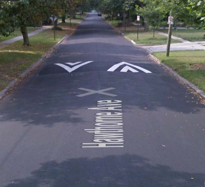
Quick Builds Program (QBP) is an interim project process where permanent projects are underway or where street conversion designs can be implemented through our resurfacing program. Sometimes permanent street design changes take a larger amount of funding and resources, QBP aims to accomplish what we can with the resources allocated. Usually, these improvements include temporary signs and markings with flexposts. QBP provides an interim solution to address concerns quicker that more permanent infrastructure to improve safe access to services faster for people of all ages and abilities.
QBP projects mirror the resurfacing program and can also utilize vertical deflection and horizontal deflection measures to better manage speeds.
Roadway Safety Assessments
- Belvidere Street
- Broad Street
- Chamberlayne Avenue
- Hull Street
- Richmond Highway
- Richmond Public Schools
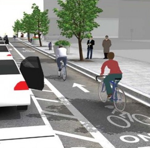
Our Division is responsible for the installation of bicycle infrastructure such as shared use paths, protected or separated bike lanes, buffered bike lanes, shared lane markings (sharrows), bike share stations, and bike racks. Check out our Bike/Walk/Ride page for additional information.
City of Richmond Transportation Resources:
Maps:
- Road Function Classification
- Traffic Volume (ADT)(VDOT)
Other Resources:
- American Association of State Highway and Transportation Officials (AASHTO)
- Code of Virginia
- Federal Highway Administration (FHWA)
- Manual on Uniform Traffic Control Devices (MUTCD)
- Virginia Department of Transportation (Home page)
- Virginia Department of Transportation - Roundabouts
- Driving Roundabouts (VDOT)
- Virginia Department of Transportation – Traffic Engineering Division
Q: I need a hauling, moving or oversized load permit. How do I apply for one?
A: The Division handles oversized or overweight load permits. Completed application for hauling permit form (click on for link) can be emailed to: rightofway@richmondgov.com
Permits will be emailed back to the email address provided by the applicant.
Completed applications may be printed and sent with your payment of $25 to the following address:
Department of Public Works
900 East Broad Street, Room 600
Richmond, VA 23219
Q: I would like to close a street to hold a special event. What do I need to do?
A: Richmond Police Department handles the street closing requests. Call (804) 646-1343 for more information.